Aerial Imagery sourcing and processing
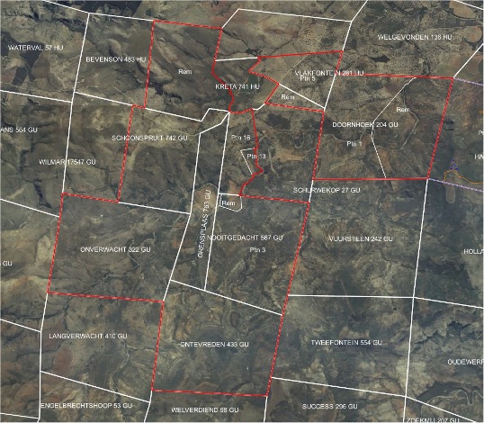
We source aerial imagery from private and public repositories across the world and tailor it to a client’s specific requirement.
We provide aerial and satellite imagery from a wide range of sources, both public and private. This imagery dates from the early 1900’s up to the present day. Resolution ranges from 60m for some of the early satellite imagery to 10cm and better for recent projects.
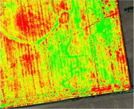
The imagery includes normal visible imagery, as well as multi- and hyper-spectral imagery.
The images can be tailored to meet your specific needs. This can include geo-positioning, ortho-mosaicing, vectorisation, time series analysis, etc. Additional data layers can be added to the imagery for context and comparison. We can provide anything from a simple paper photo to a fully fledged on-line GIS, depending on your needs.
Use cases for historical imagery include legal dispute resolution, insurance verification, historical interest, land use change determination, journalism and research, etc.