Land Claims
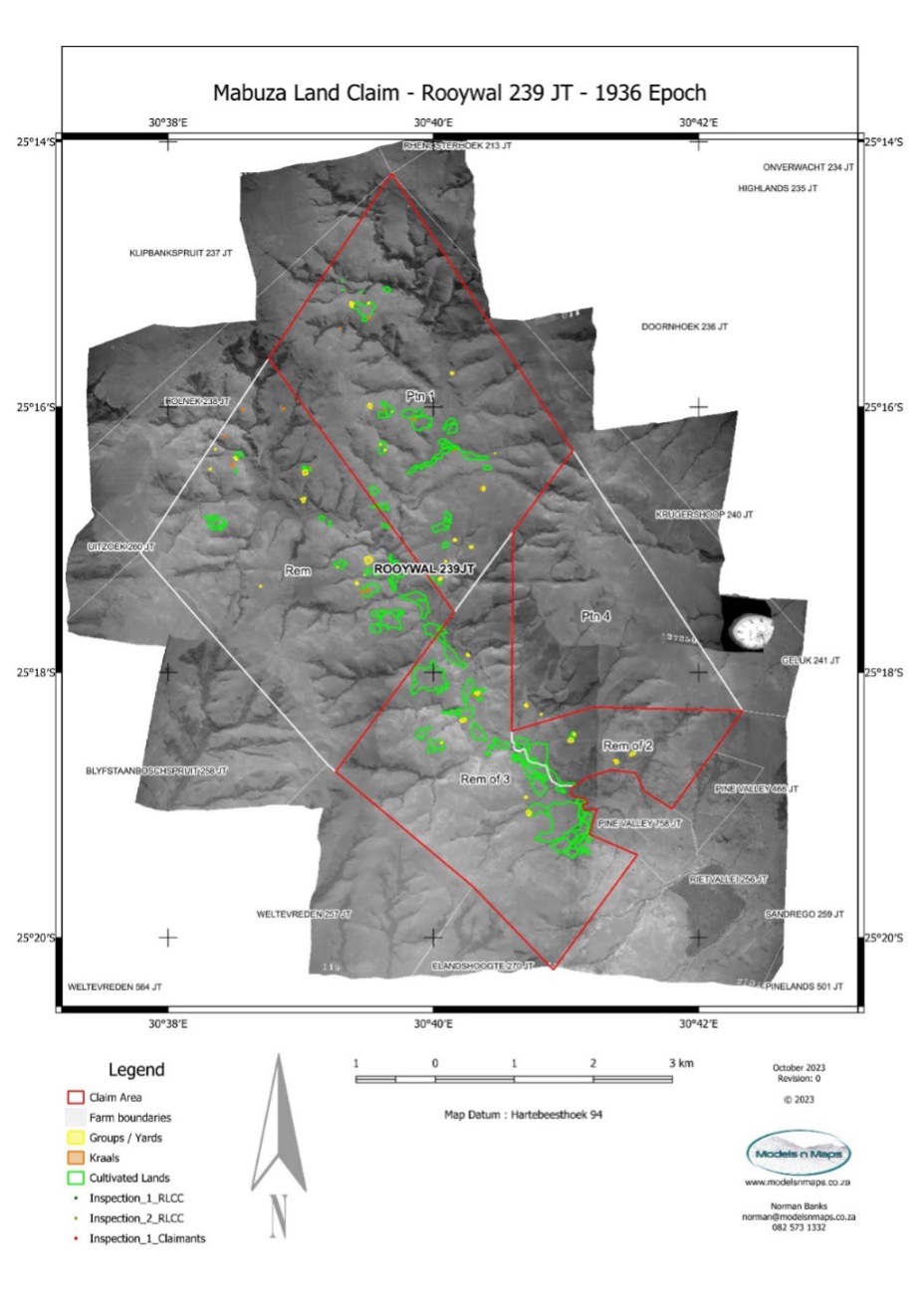
We use historical aerial imagery to evaluate previous occupation of land to assist in the determination of land claims.
A critical aspect of Land Claim adjudication is the evaluation of historical aerial imagery over the area claimed. We will source all of this imagery, going back more than 100 years in some instances. We will position all of the imagery in our GIS system and measure the different types of farming activity, land use and occupation. This will then be collated into a report providing both quantitative and qualitative analysis of the properties in question.
As both a Professional Land Surveyor and Professional Photogrammetric Surveyor, registered with the SA Geomatics Council, I am able to present the report as an expert witness should the Claim need to be decided in court.